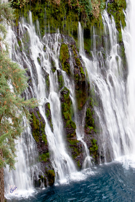
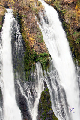
Having visited Burney Falls over ten years ago, I yearned to return to photograph the falls and area in detail. Unfortunately, this trip, the trail down to the falls was closed. It turns out that the trails were closed for the summer and fall of 2010.
The park, officially called McArthur-Burney Falls Memorial State Park, is located within the Cascade Range and Modoc Plateau natural region. It consists of about 910 acres of forest and five miles of streamside and lake shoreline, including a portion of Lake Britton. The main attraction is the 129-foot Burney Falls, one of the most visited in the state.
Being in a volcanic region (Lassen Volcanic National Park is not too far away), the landscape was created by volcanic activity as well as erosion from weather and streams. A constant stream of water emerges from springs at and above Burney Falls.
For more pictures, check out the Burney Falls album. Since the trails were closed and the sun had set, very limited photos were taken.


